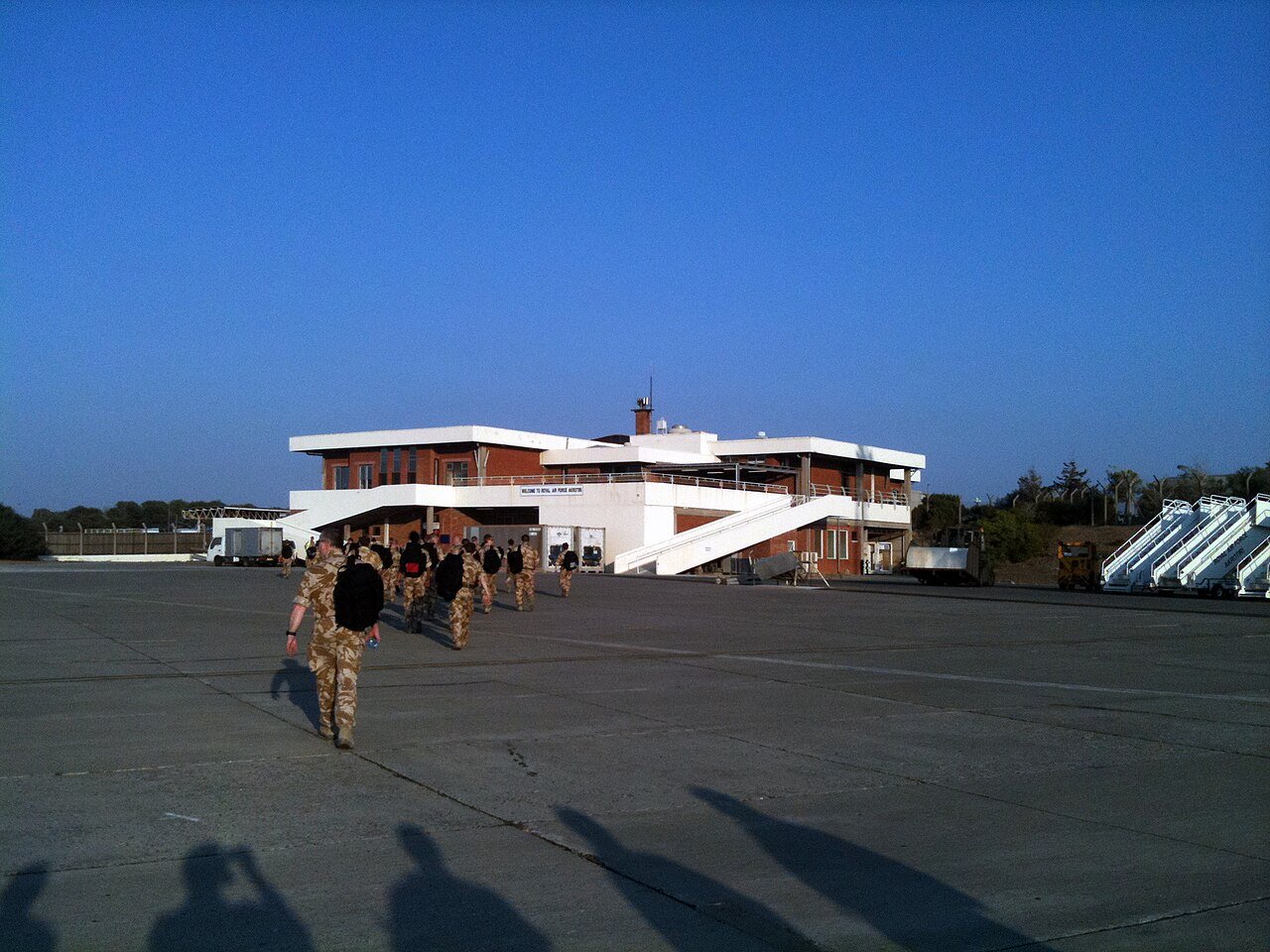

Drafted — not technically validated
Record revision 1 · Britain's air base on Cyprus since 1955: Suez, CENTO's Canberras and Vulcans, US U-2s, and strikes over Iraq, Syria and Yemen.
A real-world airfield as described in public sources, and how sim maps represent it. Units, facilities and names change; each is dated where the sources allow, and the charts are not for navigation. Use current official publications for flight planning.
Location and identity
- Location
- Western Sovereign Base Area, on the Akrotiri peninsula on the south coast of Cyprus [1]
- Country or territory
- Akrotiri and Dhekelia (UK Sovereign Base Areas on Cyprus)
- Coordinates
- 34.5904° N, 32.9879° E [4]
- Elevation
- 75 ft (23 m) [1]
- Identifiers
- ICAO LCRA · IATA AKT
- Other names
- None recorded
- Opened
- 1 July 1955 [1]
- Theatre
- Middle East
Role and operators
- Status
- Active · Military
- Roles today
- Forward staging and deployments · Fighter and strike · Search and rescue · Reconnaissance and surveillance · Airlift and tanker
- Operators
- Royal Air Force, owned by the UK Ministry of Defence and controlled by British Forces Cyprus; the station commander also runs the Western Sovereign Base Area · United Kingdom, air force · since 1955 [1]
Units
Permanently based units belong to the airfield; rotational and temporarily deployed units are there for a period or an operation. Dates are when the sources place each unit there; "as of" is when a source described it as current.
Current
No. 84 Squadron RAF, helicopter search and rescue, the one flying unit permanently assigned to the station [1]
- Service
- United Kingdom, air force
- Basing
- Permanently based
- When
- as of Oct 2026
No. 903 Expeditionary Air Wing, for Operation Shader: Typhoon detachments from RAF Coningsby and RAF Lossiemouth, with Voyager tankers and A400M transports [1]
- Service
- United Kingdom, air force
- Basing
- Temporarily deployed
- Aircraft
- Typhoon FGR4, Voyager KC3, A400M Atlas
- When
- as of Oct 2026
RAF and Royal Navy F-35B detachment, with Fleet Air Arm Merlin and Wildcat helicopters [1]
- Service
- United Kingdom, joint or defence-wide
- Basing
- Temporarily deployed
- Aircraft
- F-35B, Merlin, Wildcat
- When
- as of Mar 2026
9th Operations Group, Detachment 1, of the 9th Reconnaissance Wing (US Air Force) [1]
- Service
- United States, air force
- Basing
- Permanently based
- Aircraft
- U-2S
- When
- as of Oct 2026
Earlier
Nos. 9 and 35 Squadrons RAF, the CENTO bomber force [1]
- Service
- United Kingdom, air force
- Basing
- Permanently based
- Aircraft
- Avro Vulcan
- When
- until 1975
Nos. 6, 32, 73 and 249 Squadrons RAF, with a nuclear strike role from November 1961 [1]
- Service
- United Kingdom, air force
- Basing
- Permanently based
- Aircraft
- English Electric Canberra
- When
- 1957–1969
Runways and facilities
From data effective Aug 2022. Facilities not listed here are not documented in the sources cited, which does not mean the airfield lacks them.
| Runway | Length | Width | Surface |
|---|---|---|---|
| 10/28 [1]2,745 × 45 m as published | 9,006 ft (2,745 m) | 148 ft (45 m) | grooved asphalt concrete |
- Arresting gear
- Hydraulic arrester gear, installed when the runway, taxiways and aprons were resurfaced between 2015 and March 2017 [1]
- Navaids
- None documented in the sources cited
Figure 1 — Airfield map of RAF Akrotiri (to scale)
- Runway
- Taxiway, with its name
- Apron
- Hangar or terminal
- Helipad
- Airfield boundary
Runways, taxiways, aprons and buildings inside the airfield boundary, true north up, drawn from OpenStreetMap data retrieved 2026-10-28. Widths come from the map data or, where it gives none, a typical 45 m runway and 18 m taxiway. Map data © OpenStreetMap contributors, available under the ODbL 1.0. Community-mapped, not an official aerodrome chart, and not for navigation.
Sim maps
Represented in: DCS: Syria
DCS: Syria DCS World · Present day
Only the maps marked represented or confirmed absent have been checked. Any other map may or may not represent this airfield.
Other maps in Middle East, not yet checked for this airfield, which may lie outside them: DCS: Persian Gulf, DCS: Sinai, DCS: Iraq, DCS: Iraq North, Falcon BMS: Israel.
Role today
RAF Akrotiri is a large Royal Air Force base in the Western Sovereign Base Area, one of the two parts of Akrotiri and Dhekelia, a British Overseas Territory on Cyprus. [1] Its only permanent flying unit is No. 84 Squadron’s search and rescueSAR GlossaryJoint terms: Search and rescue. The use of aircraft, surface craft, submarines, and specialized rescue teams and equipment to search for and rescue distressed persons on land or at sea in a permissive environment. helicopters, but it is the RAF’s base for operations across the eastern Mediterranean and Middle EastMiddle East TheatreThe Levant, Sinai, Iraq and the Persian Gulf: the Arab–Israeli wars, the Tanker War, the Gulf War, Iraq and Inherent Resolve, and Russia in Syria.: Typhoons flying for Operation Shader, tankers and transports, and surveillance aircraft and drones that come and go with each operation. [1] Two US Air Force U-2s are stationed there, still monitoring the Egypt–Israel ceasefire and flying missions in Central Command’s area. [1]
History
The station was built in the mid-1950s and was a base for the Suez Crisis in 1956, when its Meteor night fighters, Canberra photo-reconnaissanceReconnaissance GlossaryJoint terms: A mission undertaken to obtain, by visual observation or other detection methods, information about the activities and resources of an enemy or adversary, or to secure data concerning the meteorological, hydrographic, or… aircraft and Venom ground-attack aircraft were reinforced by more Canberras. [1] From 1957 to 1969 four Canberra squadrons gave Britain’s Baghdad Pact, later CENTO, allies first a conventional and from November 1961 a nuclear strikeStrike GlossaryJoint terms: An attack to damage or destroy an objective or a capability. force, and two Vulcan squadrons followed until 1975. [1] After 1966 Akrotiri was the only RAF flying station left on the island. [1] The Turkish invasion of Cyprus in 1974 led the UK to withdraw most of its aircraft. [1]
US U-2s arrived in August 1970 to watch the Suez Canal ceasefire, and after the Yom Kippur War of 1973 the operation, OLIVE HARVEST, became permanent. [1] Akrotiri received American casualties from the 1983 BeirutBeirut–Rafic Hariri International Airport AirfieldLebanon's only working commercial airport: the 1968 Israeli raid, the 1983 barracks bombing and the 2006 runway strikes. barracks bombing, was used in the US strike on Libya in 1986, evacuated people from Lebanon in 2006 and staged support aircraft for the 2011 Libya campaign. [1] Tornados flew from it over Iraq from August 2014 and RAF aircraft struck the Islamic State from September; it supported the 2018 missile strikes on Syria, and on 12 January 2024 four of its Typhoons struck Houthi targets in Yemen. [1]
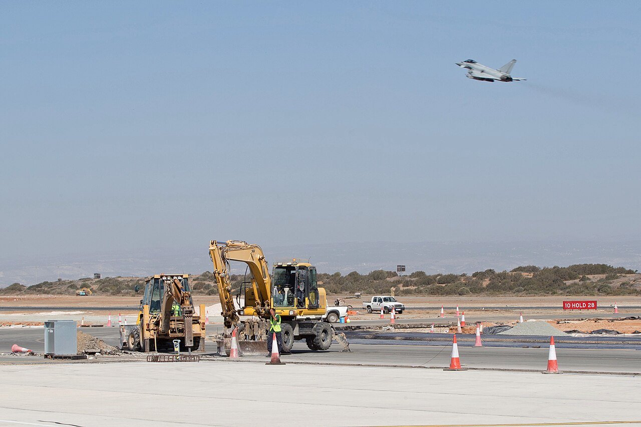

Sources
- RAF Akrotiri. Wikipedia (secondary source). https://en.wikipedia.org/wiki/RAF_Akrotiri (accessed 2026-10-27). Its runway figures cite the UK Military Aeronautical Information Publication, AD 2 LCRA, dated 11 August 2022, which could not be reached from here.
- DCS: Syria Map. Eagle Dynamics and Ugra Media (product page). https://www.digitalcombatsimulator.com/en/shop/terrains/syria_terrain/ (accessed 2026-10-27).
- pydcs terrain data: Syria airports (airports.py). pydcs, an open-source Python library for building DCS World missions, whose terrain data mirrors the game's. https://github.com/pydcs/dcs/blob/5ddcc63a2dcd661e16b14f7aa43219b93044855d/dcs/terrain/syria/airports.py (accessed 2026-10-27). Akrotiri entry: ATC radios, runway 10-28 and its runway beacons.
- Airport data, LCRA. OurAirports open data (public domain, community-maintained). https://davidmegginson.github.io/ourairports-data/airports.csv (accessed 2026-10-28). Row for LCRA: latitude, longitude and identifiers.
Wikipedia articles are secondary sources and can change; they are cited with the date they were read. FAA airport data and diagrams are official but are reissued every 28 or 56 days; each is cited with the edition read. pydcs mirrors the DCS terrain data at the commit linked.